Search the Community
Showing results for tags 'contour'.
Found 10 results
-
 In this tutorial you will learn how to create contour lines from Google Earth on AutoCAD:
 -
Hi Everyone:) I am working with contour lines. I don't have any trouble creating a surface from the contour lines (Toolspace > GIS topo > Definition > Contours > Add (with swapping edges selected) >> surface generates). What I was wondering is : IS there any way to create different layers for different slope gradients (as defined in the slope properties)? Ultimately what I want to do is be able to isolate the regions that fall into different slope categories and create boundaries around them. Any and all help is greatly appreciated!
-

I want lisp to get label at the polyline starting edge and ending edge
sanju2323 posted a topic in AutoLISP, Visual LISP & DCL
I want lisp to get at the beginning and end of each polyline of the Elevation Label Label Sample.dwg
-
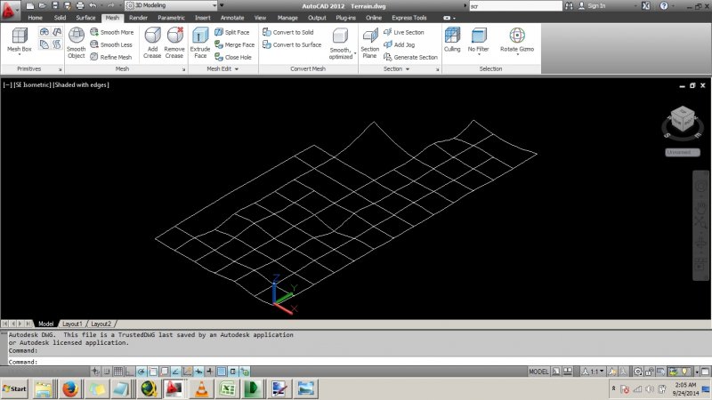
Hi. Is there a simple way to quickly draw a mesh out of the following splines created from a recent survey to represent a terrain. Note some data are missing. Thanks. Terrain.dwg
-
Hi, I've had this ongoing problem where, when Clipboard>Copy(ing) contour lines and triangles, there always seems to be one contour line with a ridiculous elevation. i.e if all my contour lines were around an RL of 60-70 (as an example, this happens regardless of the spread or elevation of the RLs), there would be one line that is around +4000000, which is an extreme height. The problem I am having with this is that I can't trim or extend the line to meet the Title Boundaries of the property I am contouring. I export the Contour file (Created in AutoCAD Civil 3D 2010) to a 2010 format, then open this exported file and Clipboard>Copy the contour lines and triangles from the file. I then Clipboard>Paste To Original Coordinates. This problem does not really affect my drafting, it has just become an annoyance after months of having to click and drag several poitns back to the title boundary. Thanks in advance and feel free to ask any questions if I have not been clear! ~ Jake
-

How to create surface or solid from contour lines?
mihailklenov posted a topic in AutoCAD 3D Modelling & Rendering
Hello, there! For several days now I've been trying to lay a mesh on top of some contour lines. I've also tried the loft command, but with little success. I've tried several terrain plugins, but they all seem to misfunction because I have overlapping contours. Here is the dwg to get idea what I'm trying to make. I'll be very grateful to all kind of suggestions on how I can do it. (including recomendations for plugins, other software or whatever else) Thank you in advance! contours.dwg -
Hello, I am pretty new to LDD and can not figure out how to crate a TIN from design contours. The design contours are polylines. If there is a step by step tutorial on how do do this, that would be great. I have been looking but have not found anything. Thanks for the help!
-
Hi friends,is it possible to make 3d contour by using coordinates like x,y,z.that means if i putting value of xyz can i made 3d contour.thanks in adv.
-

Creating a surface or solid from a Contour Map?
Sian posted a topic in AutoCAD 3D Modelling & Rendering
Hi, I have a contour map in polylines in the correct elevation and I was wondering how I can make it into a surface? I have read many threads and searched the AutoCAD Architecture 2010 user documentation but cannot find a "drape" command which everyone seems to suggest from other peoples posts. The map is quite detailed therefore the Edgesurf, Rulesurf etc won't work or I can't seem to get it to work! Any help would be very grateful! Thank you, Sian -
Is there a way to prevent a viewport from showing behind an object drawn in paper space? It's not attached to the side of the title block so I can't _vpclip around it. It's floating in the lower left corner, and I don't want the contour lines on this map to show up behind it.