Jump to content

Search the Community

Showing results for tags 'groundcad'.

  • Search By Tags

    Type tags separated by commas.
  • Search By Author

Content Type


Forums

  • CADTutor
    • News, Announcements & FAQ
    • Feedback
  • AutoCAD
    • AutoCAD Beginners' Area
    • AutoCAD 2D Drafting, Object Properties & Interface
    • AutoCAD Drawing Management & Output
    • AutoCAD 3D Modelling & Rendering
    • AutoCAD Vertical Products
    • AutoCAD LT
    • CAD Management
    • AutoCAD Bugs, Error Messages & Quirks
    • AutoCAD General
    • AutoCAD Blogs
  • AutoCAD Customization
    • The CUI, Hatches, Linetypes, Scripts & Macros
    • AutoLISP, Visual LISP & DCL
    • .NET, ObjectARX & VBA
    • Application Beta Testing
    • Application Archive
  • Other Autodesk Products
    • Autodesk 3ds Max
    • Autodesk Revit
    • Autodesk Inventor
    • Autodesk Software General
  • Other CAD Products
    • BricsCAD
    • SketchUp
    • Rhino
    • SolidWorks
    • MicroStation
    • Design Software
    • Catch All
  • Resources
    • Tutorials & Tips'n'Tricks
    • AutoCAD Museum
    • Blocks, Images, Models & Materials
    • Useful Links
  • Community
    • Introduce Yourself
    • Showcase
    • Work In Progress
    • Jobs & Training
    • Chat
    • Competitions

Categories

  • Programs and Scripts
  • 2D AutoCAD Blocks
  • 3D AutoCAD Blocks
  • Images
    • Backgrounds

Find results in...

Find results that contain...


Date Created

  • Start

    End


Last Updated

  • Start

    End


Filter by number of...

Found 3 results

  1. GroundCAD 0.3.1,is a 2D CAD software for the land surveying and civil engineering. it runs on windows ,linux and mac os. GroundCAD has a simple graphical interface to ensure the speed,simplicity and the efficiency. GroundCAD supports many standard formats like : Ascii file(txt/csv). Autodesk dxf(ascii R12). Leica(gsi 8/16). Sokkia(sdr33). Topcon(fc4/gts7/xml/landxml). Google(kml) ... For more informations : http://www.groundcad.com/
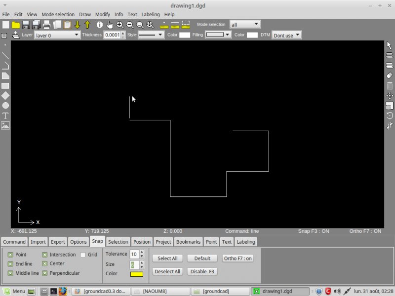
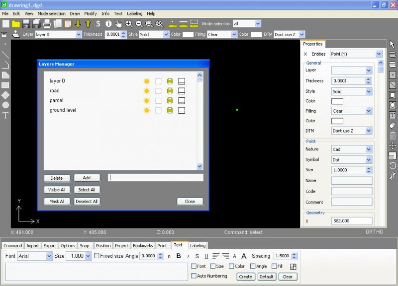
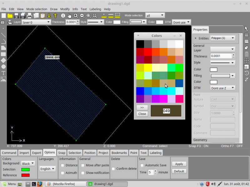
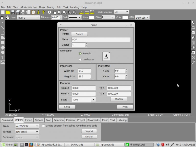
  2. GroundCAD 0.3.1, is a 2D CAD software for the land surveying and civil engineering. it runs on windows ,linux and mac os. GroundCAD has a simple graphical interface to ensure the speed,simplicity and the efficiency. GroundCAD supports many standard formats like : Ascii file(txt/csv). Autodesk dxf(ascii R12). Leica(gsi 8/16). Sokkia(sdr33). Topcon(fc4/gts7/xml/landxml). Google(kml) ... For more informations : http://www.groundcad.com/
  3. naoum78

    Groundcad 0.3

    Download the last release 0.3 of groundcad from www.groundcad.com
×
×
  • Create New...