Jump to content

Search the Community

Showing results for tags 'handles'.

  • Search By Tags

    Type tags separated by commas.
  • Search By Author

Content Type


Forums

  • CADTutor
    • News, Announcements & FAQ
    • Feedback
  • AutoCAD
    • AutoCAD Beginners' Area
    • AutoCAD 2D Drafting, Object Properties & Interface
    • AutoCAD Drawing Management & Output
    • AutoCAD 3D Modelling & Rendering
    • AutoCAD Vertical Products
    • AutoCAD LT
    • CAD Management
    • AutoCAD Bugs, Error Messages & Quirks
    • AutoCAD General
    • AutoCAD Blogs
  • AutoCAD Customization
    • The CUI, Hatches, Linetypes, Scripts & Macros
    • AutoLISP, Visual LISP & DCL
    • .NET, ObjectARX & VBA
    • Application Beta Testing
    • Application Archive
  • Other Autodesk Products
    • Autodesk 3ds Max
    • Autodesk Revit
    • Autodesk Inventor
    • Autodesk Software General
  • Other CAD Products
    • BricsCAD
    • SketchUp
    • Rhino
    • SolidWorks
    • MicroStation
    • Design Software
    • Catch All
  • Resources
    • Tutorials & Tips'n'Tricks
    • AutoCAD Museum
    • Blocks, Images, Models & Materials
    • Useful Links
  • Community
    • Introduce Yourself
    • Showcase
    • Work In Progress
    • Jobs & Training
    • Chat
    • Competitions

Categories

  • Programs and Scripts
  • 2D AutoCAD Blocks
  • 3D AutoCAD Blocks
  • Images
    • Backgrounds

Find results in...

Find results that contain...


Date Created

  • Start

    End


Last Updated

  • Start

    End


Filter by number of...

Found 2 results

  1. I will try to explain this the best I can. I have several hundred miles of aerial and buried fiber. It is in AutoCAD map 3d 2012. I was given the task to create a database that links to the drawing and consists of information extracted from attributed blocks and cable information. The blocks are no problem. I am able to get all the info needed from ATTOUT, but getting the fiber info can be done manually. The cable in the landbase (.dwg) is represented by polylines and the access database links to the handle created by autocad. I can get all the handles and then manually type the pole to pole info. But if I can export the handle with the start and end coordinates it would be a much faster process. I have tried using the dataexport command but I cant seem to get the handle information. or if there is a way to export all attributed block info and polyline handles with start and end location at the same time, would be more of a time saver. Any help would be greatly appreciated.
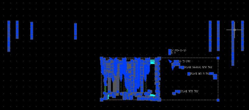
  2. Anyone know how to get rid of this garbage in the attached picture? I remember when it was only Ustation that caused this grief. I guess autodesk decided to catch up
×
×
  • Create New...