Search the Community
Showing results for tags 'parcels'.
Found 4 results
-

Parcel Geometry Report Centerline of Right-of-Way
Incognito Cube posted a topic in AutoCAD 2D Drafting, Object Properties & Interface
Good afternoon all, if this belongs in management and output please move it. I couldn't figure which was more fitting of a sub category. I've done this in the past, maybe a year ago or so but only once so I can't remember, but I know it can be done. Maybe I'm not using the correct keywords in my searches to refresh my memort, but I've been unable to find a solution to the wall I've hit. I'll try to keep it as simple as possible and can elaborate as needed. The quickest and simplest question I can ask about my issue is: How can I generate a simple text file readout of the geometry of a right-of-way centerline? I've currently got it configured as two polylines (one poly for each street, the second beginning off of a PI of the first street). I've never used corridors, alignments, or feature lines and from what I've been reading those won't provide me with what I want. My constriction at this point is that I cannot modify the existing linework which is what the three options listed in the previous sentence will try to do if not set up properly (from what I'm comprehending on forums and by playing around with them, anyway). I just need a readout of the Bearing/Distance on the line segments, and the Radius, Delta, Arc Length, Chord Bearing, and Chord Distance of the curve segments starting at a definable endpoint and running the course of the polyline (Centerline). I've attached an example of the generic format of the Parcel Reports that we use to create our geometry checks (In-house and for the County/Muni) that I would like to follow for the centerline report I'm trying to create. I can do without the Northing and Easting, though. At this point, it would have been faster for me to take this format and hand type in the information to just get this out. Of course, that leaves scrivener's errors as a possibility and is not useful in larger jobs. This particular centerline is only about 2,187ft long with maybe only 14-18 vertices. Any help will be appreciated. PARCEL REPORT FORMAT EXAMPLE.pdf -
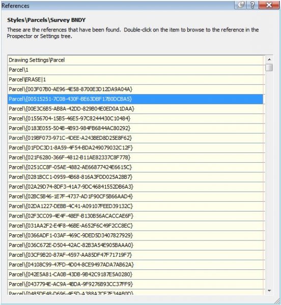
I'm having problems deleting "ghost' parcels in my drawing. Please help me resolve this problem. I have attached a screen shot of my issue. I have deleted all my sites but these parcels are still in the drawing. Your assistance is greatly apprciated. Thanks

-
I created over 100 parcels in Civil 3D 2013, none under 9000 SF. After saving and closing the file, I opened it the next day to continue and all 100 parcels show 0 SF and 0 acres, yet the parcel segments still show as created. First off, WHY?! And secondly, how do I rectify the problem? Anyone else had this issue? An update: After closing, I recovered the file, which did rectify the issue..... in that session. After continuing parcel creation, saving, and closing, the file opened next session with the same problem. Another recovery resolves the issue again.... for that session.
-

Parcel areas change after closing file
Screech_Nelson posted a topic in AutoCAD Bugs, Error Messages & Quirks
I created 100 parcels in Civil 3D 2013, none under 9000 SF. After saving and closing the file, I opened it the next day to continue and all 100 parcels show 0 SF and 0 acres yet the parcel segments still show as created. First off, WHY! And secondly, how do I rectify the problem? Anyone else had this issue?